
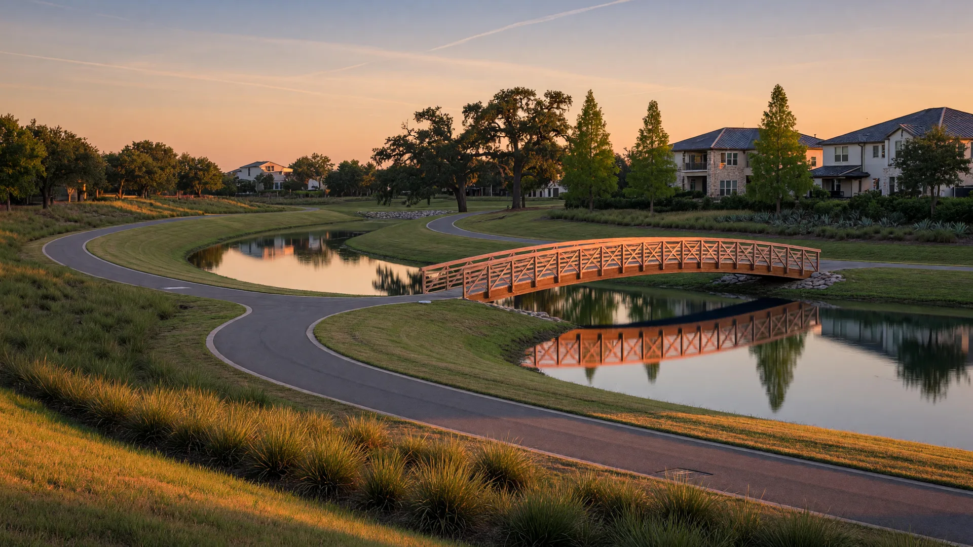
Flood risk in Cinco Ranch is not one answer for the whole community: it changes street by street, and the drainage that protects the area is managed by a dedicated special-purpose district with its own history. The Willow Fork Drainage District, created in 1985, builds and maintains the channels, parks, and trails that carry stormwater through the community, and it remains the primary source for what residents should actually know about flood risk here. This post explains how the system works, what Hurricane Harvey revealed, and how to check your own address.
What the Willow Fork Drainage District actually does
The district is a special-purpose political subdivision, created by an order of the Texas Water Commission in February 1985 to finance, construct, maintain, and operate drainage and flood-protection infrastructure. Today it covers roughly 5,700 acres, manages about 15 miles of channels, three community parks, and close to 50 miles of trails, and serves more than 11,000 residential and commercial properties and over 30,000 residents, according to the district's own materials.
The district coordinates with the community's MUDs and homeowners associations, the Fort Bend County Drainage District, the Harris County Flood Control District, and the U.S. Army Corps of Engineers. In practical terms, it keeps the channels clear, runs the stormwater management program that covers the Cinco Ranch MUDs, and maintains the linear parks and trails that double as the community's green network.
Why Harvey is still the reference point
Hurricane Harvey in August 2017 dropped more than 30 inches of rain on parts of the area and flooded roughly 790 homes in Cinco Ranch, according to the drainage district, with the neighboring Canyon Gate area flooding heavily as Barker Reservoir rose. The storm also produced a statistic the district still quotes: 81 percent of owners of Harvey-damaged property located outside FEMA high-risk zones had no flood insurance at the time.
The recovery was large. The district reports that its crews removed about 350,000 cubic yards of silt from the channels, and the presence of the Barker Reservoir flood pool at the eastern edge of the community remains a fact of life for homes in those sections. That history is why flood exposure here is evaluated at the property level, not the neighborhood level.
What the district is doing now
The district's current flagship effort is Project Barker, a flood-risk-reduction and park project inside Barker Reservoir designed to add flood storage and usable greenspace. It is an ongoing project, and the district publishes updates on its website and newsletter for residents. The takeaway for newcomers: the drainage infrastructure here is actively managed and actively changing, which is a good reason to check current plans before you shop a specific section.
How to check your own address
- Look up the flood zone for a specific address with FEMA's Flood Map Service Center and the flood control district for your county, then ask the seller for the disclosure and any flood insurance claim history.
- Do not rely on a high-risk map alone: the district's own data shows most Harvey damage happened outside mapped high-risk areas.
- If you buy, consider flood insurance through the National Flood Insurance Program, which carries a 30-day waiting period, so purchase well before hurricane season.
Three habits that keep the system working
- Never blow grass clippings or leaves into storm drains or ditches; clogged drains are a block-scale problem.
- Do not dump yard waste or debris into the channels, and report blockages to the district.
- Sign up for district news so you hear about maintenance, projects, and weather-related notices before they affect your street.
The primary sources for everything above:
- Willow Fork Drainage District: about
The district's own history, scope, and service numbers.
- Willow Fork Drainage District: Hurricane Harvey recovery
The district's account of the storm, the damage, and the cleanup.
- Willow Fork Drainage District: flood insurance education
Why the district says flood insurance matters even outside mapped high-risk zones.
- Willow Fork Drainage District: Project Barker announcement
The district's public announcement of the flood-storage and park project.
Related reading from this site:
- The parks and trails of Cinco Ranch
Where the district's channels double as the community's walking and biking network.
- The lake neighborhoods of Cinco Ranch
Water-side living up close, including the reservoir-adjacent sections.
- Katy property taxes and MUDs
The other districts that share the area with the drainage district.
Realty Pros of Texas
Read a drainage map before you fall for a floor plan
Carol checks flood history, MUD records, and seller disclosures with every buyer appointment, and she is happy to walk you through it before you offer.
Start the buying guideWritten for living in Cinco Ranch
Carol Jukes is the Broker/Owner of Realty Pros of Texas, serving Katy, Houston, and surrounding communities with 35+ years in real estate and 1,500+ homes sold, Licensed Texas broker since 2006. Questions about this post or the community? She is one phone call away: (832) 212-2772.
All articles